
Caledonia Waterfall Trail
- Catherine

- Aug 22, 2022
- 1 min read
Updated: 4 days ago
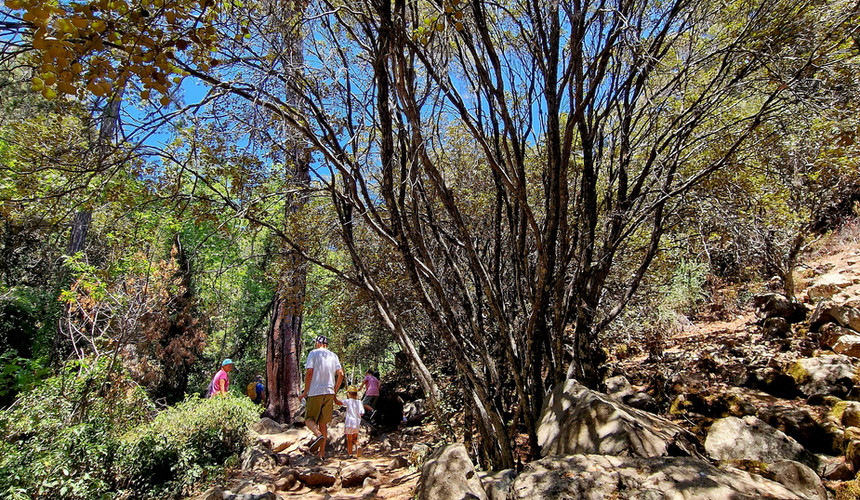
The Caledonia Waterfall Trail may be relatively short but it offers a rewarding challenge thanks to its steady uphill path, especially from the waterfall to the end of the trail. Despite the climb, it remains one of the most beautiful hiking trails in Cyprus and is a favourite among nature lovers and outdoor enthusiasts.
Practical information:
Length: 3km – Linear (6km returning to the starting point)
Estimated duration: 2 hours
Difficulty rate: 3
Starting points: 1) Platres near the Psilo Dentro trout farm & restaurant - Click here
2) On the main road from Platres to Troodos (opposite the area of the government vacation homes) – Click here for directions


Nestled in a lush forest along the Kryos River, this scenic trail is perfect for hiking throughout the year. If you are planning to visit during the winter months, it is a good idea to check the weather conditions in advance, as the path can become slippery after rain or snowfall.


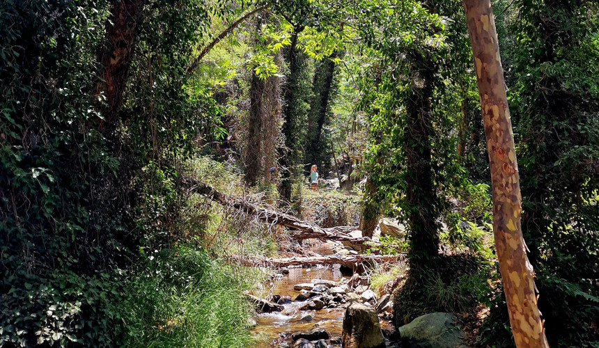
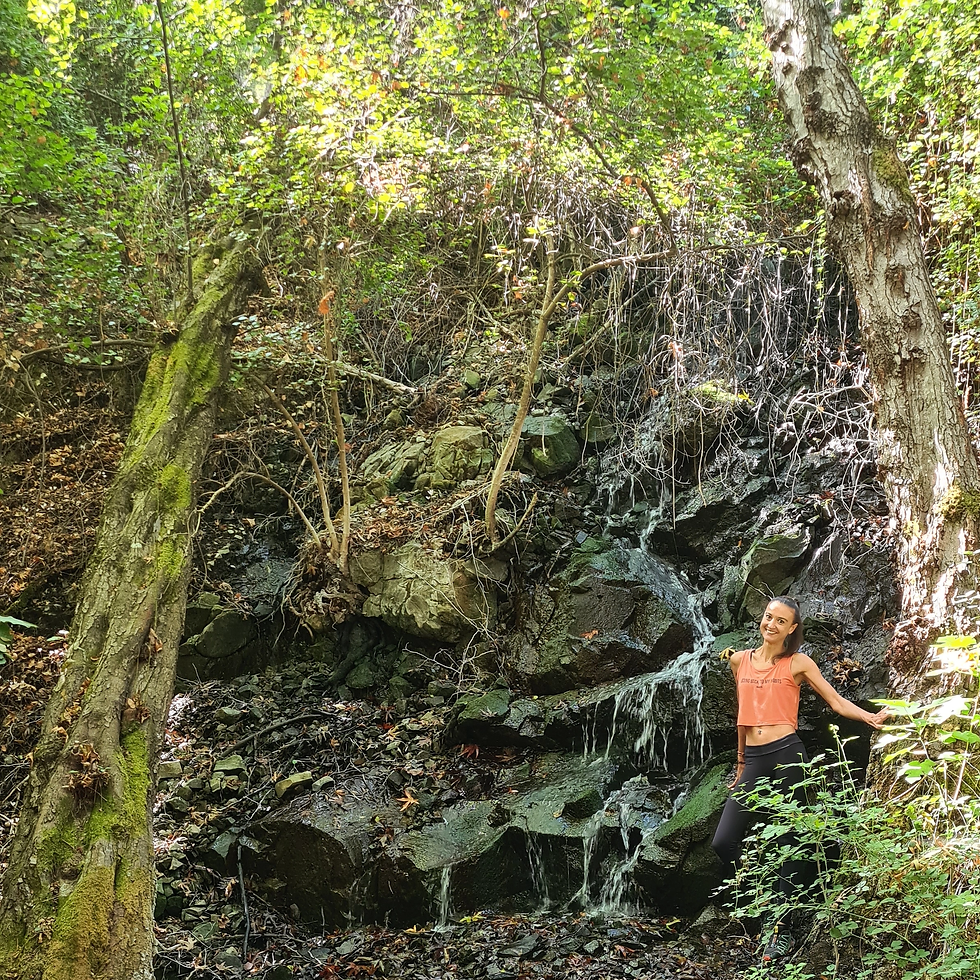
The waterfall is definitely the highlight of the trail. The scenery is simply breath taking and enchanting, making it the perfect spot to rest and enjoy the surroundings. From there on the trail follows an uphill direction until it reaches to its ending point.


Caledonia waterfall is one of the highest waterfalls in Cyprus, with a height of 12 meters. The name of the waterfall was given by a Scottish expedition visiting the area in 1878. They were amazed by the resemblance of the waterfall with the natural landscapes of their country Scotland which was called Caledonia during the Roman period.


Comments